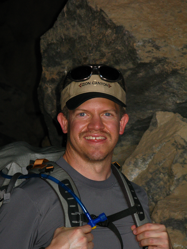
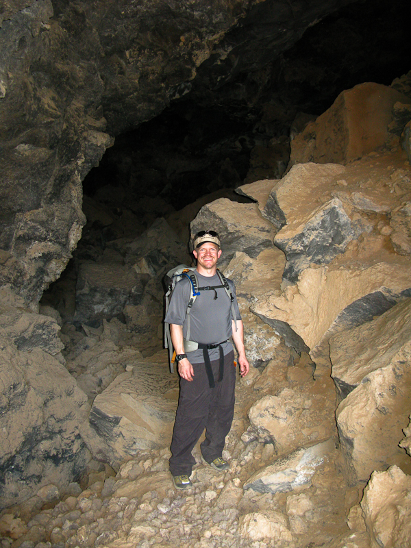
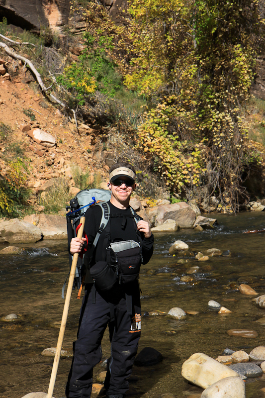
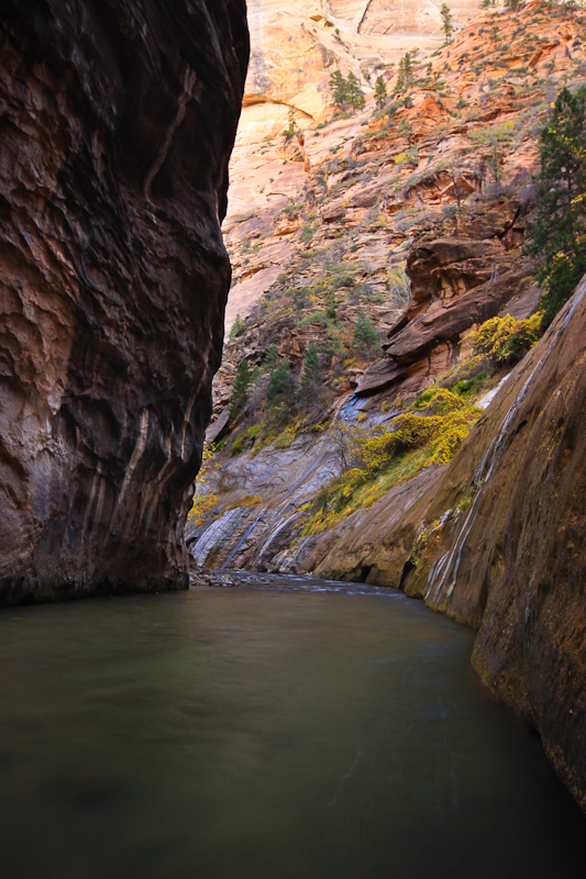
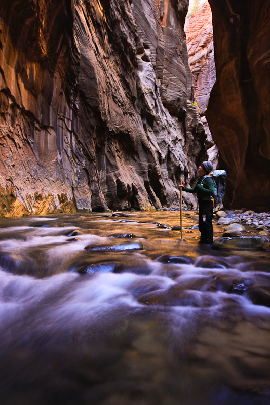
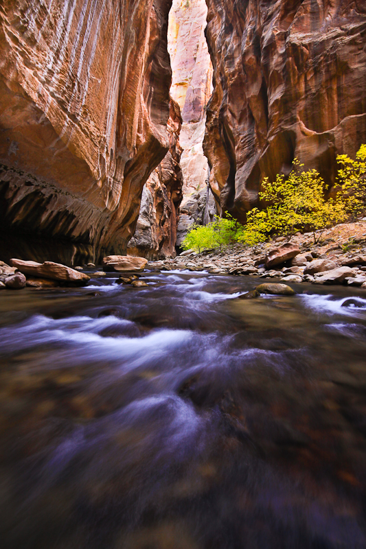
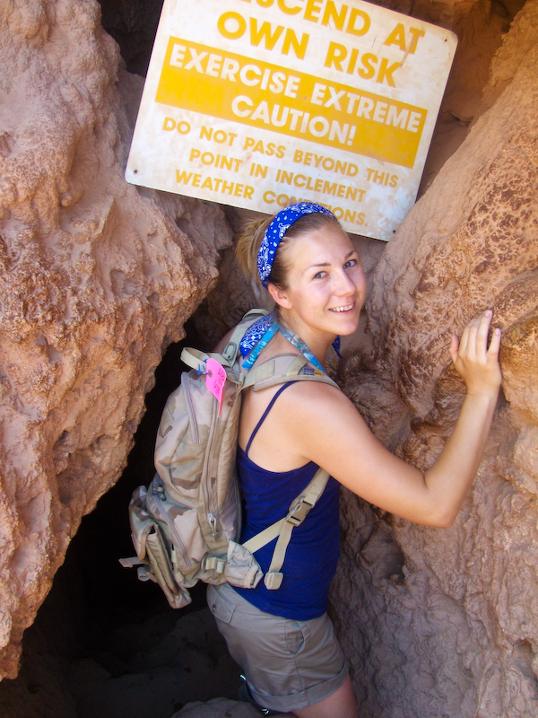
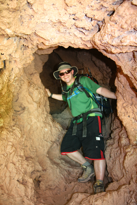
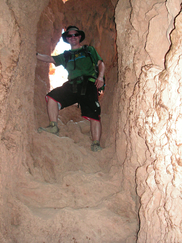
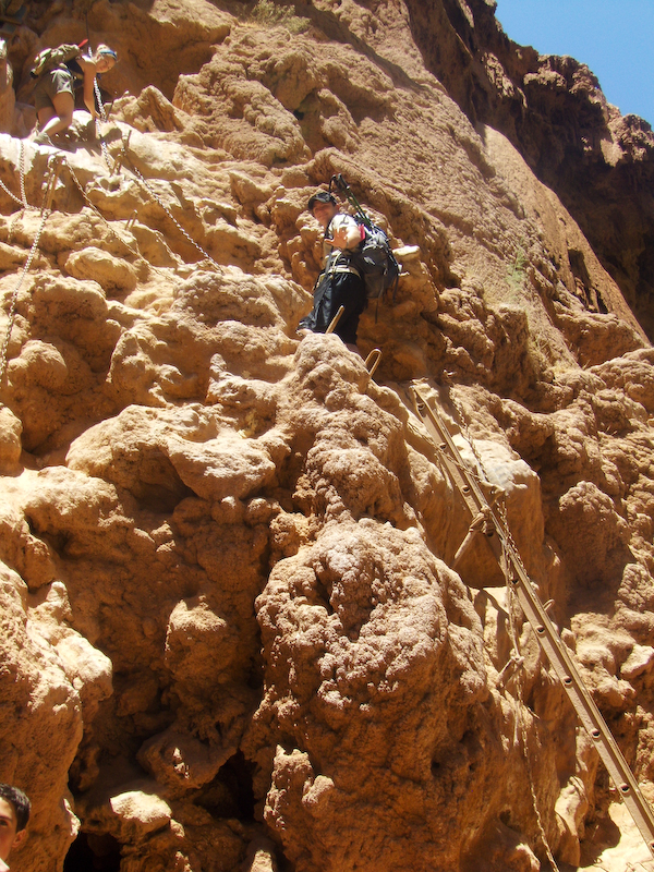
So here we are starting up Mystery Canyon. Since it was fall and there would be at least some swimming and quite a bit of waist deep wading once we rejoined the Narrows, we rented dry suits (they're in our backpacks - but i'm wearing my fancy shoes!).
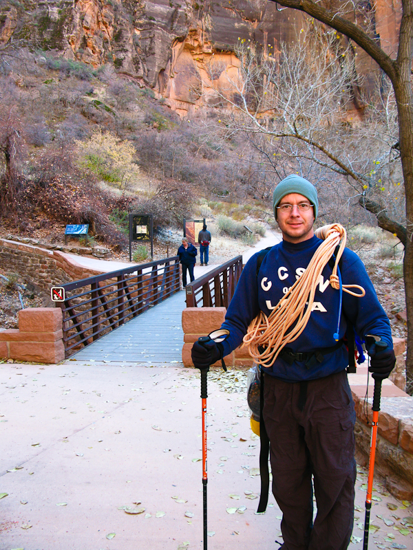 Hey look, it's me! i don't look as cool as Jared with the rope draped over him like that. I put my rope in my backpack.
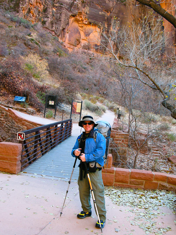 The hike starts at Weeping Rock and heads up as if heading for Observation Point. I've done THAT hike before, and it's a GRIND! A lot of elevation gain, but great views! Along the way, you come across what i believe to be Echo Canyon. A narrow slot canyon. The trail we took went off to the left up on the ledge by the tree you can see up there.
 This is the view looking back into the canyon on the way up. The reddish high point you can see off to the right is Angel's Landing. The saddle down below is where we just hiked up from. Well actually, we hiked up from the canyon floor! Somewhere on the cliff face there to the left is Hidden Canyon - that's one hike i'd still like to do.
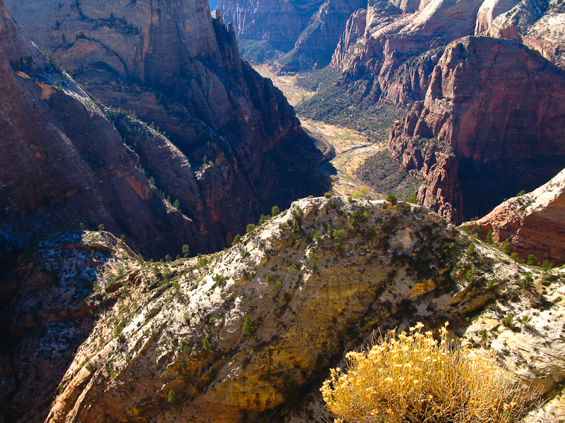 Here we are at the top looking down into Mystery Canyon. We gained all that elevation and now we had to lose it all again! We actually had to wander around a little bit looking for the trail down. I ended up trying to match the view with the picture in my guidebook, but it worked!
 This is the trail down into the canyon - VERY steep. And yes, that's SNOW! Crazy! It was steep and slippery! i know i ended up sliding down instead walking down at least one time.
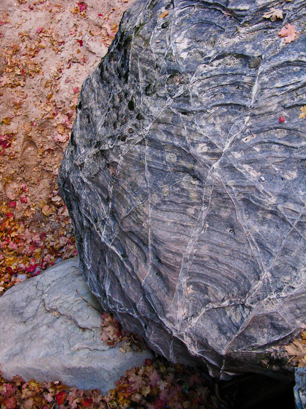
 This was just a cool boulder i saw along the way. I like the spiderweb pattern. i thought Anya would like it too.
 Here we are at the start of the REAL narrows. It was VERY impressive AND exciting from here on out.
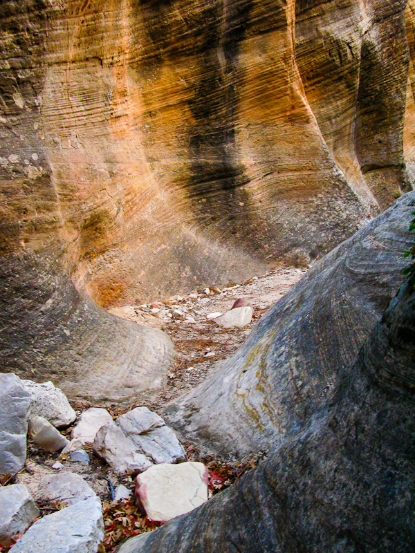 Here's Jared setting up for one of our first bigger rappels. We had to bring two 50 meter ropes for this hike, which was a bit of a drag considering there were only two rappels that were even close to that long. Every other time we were having to uncoil and recoil one of the 50 meter ropes. Eventually the rappels got so close together that one of us would rappel down and while the other was rappelling down we'd start walking over to the next rappel with the end of the rope. What a blast! it was seriously SO fun!
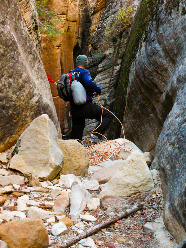 This is looking back at what we just rappelled down. We came down from on top of the little rock jammed in up at the top.
 Here's Jared demonstrating optimum rappelling form.
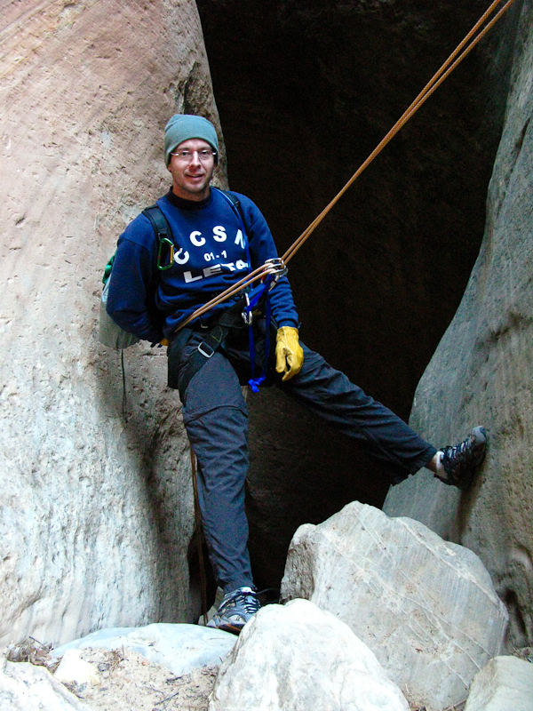 Here's me demonstrating optimum goofy rappelling form. It comes so easy...
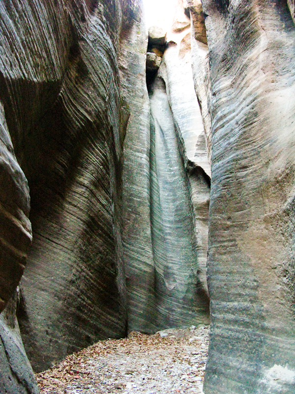
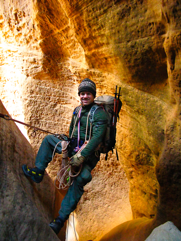 Some more narrows. It's actually ALL narrows. This is just another picture of some more narrows. Some of the rappels were actually a little tricky because you'd rappel down to a landing of sorts and then continue rappelling but in a slightly different direction (but still down obviously).
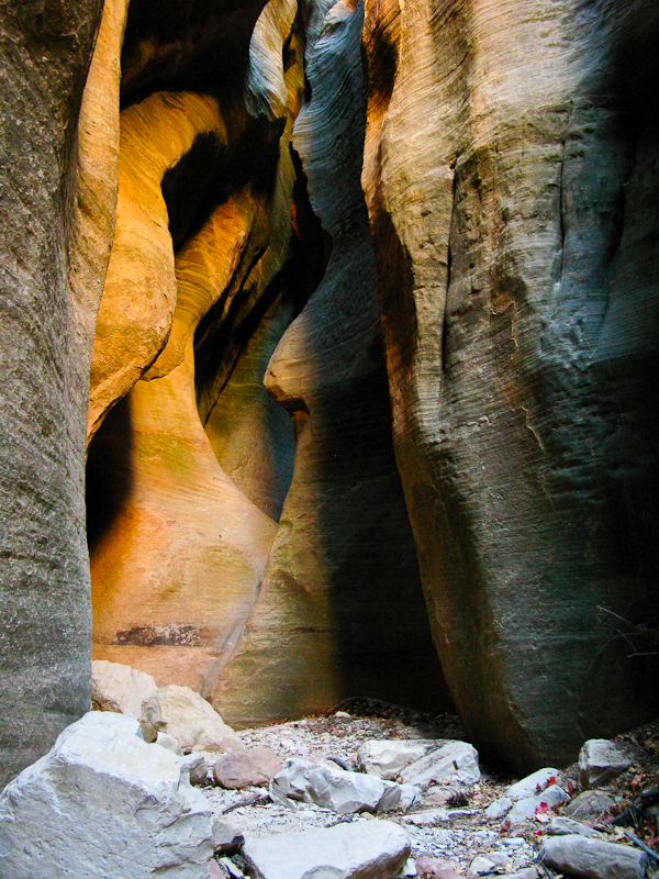 After a bunch of rappels and narrows it opens up a little bit to an area that looks like it would be a big (well, not THAT big) lake. What must have been a landslide deposited a big pile of sand a rock in the canyon creating a dam. Fortunately, there was no water. I'm not sure if there usually is or not, we couldn't really tell.
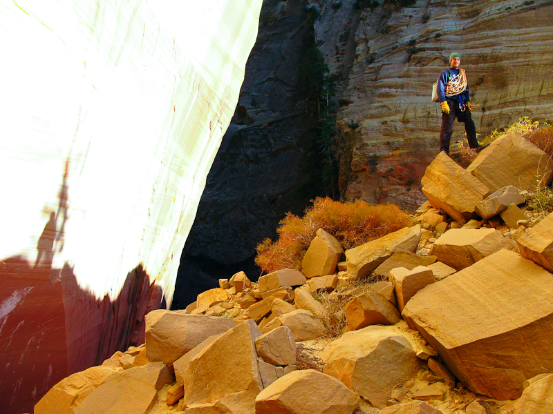 That's my shadow down there to the left! It was so pretty here! The canyon wall was being lit up brilliantly - which unfortunately also meant we were running out of daylight - doh!

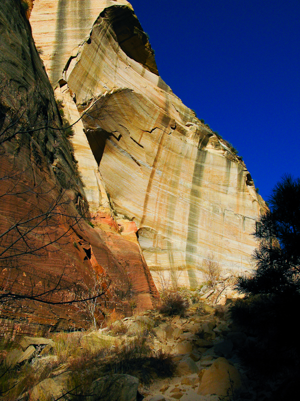 This is looking down the final stretch of Mystery Canyon. The blueish appearing wall off in the distance is where Mystery Canyon joins the Narrows.
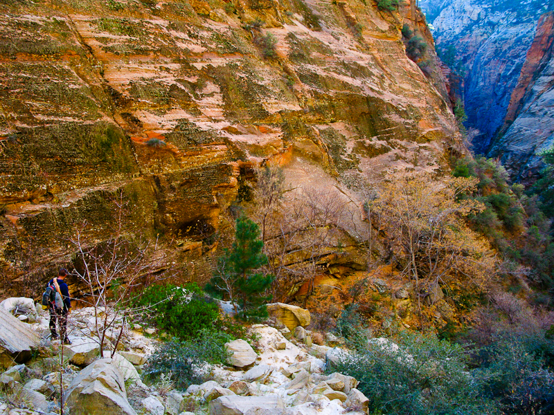 Another rappel. There we SO many rappels, but i don't think it ever got old - it was just non-stop fun and excitement.
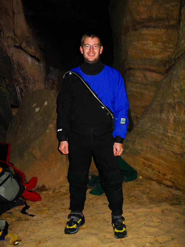
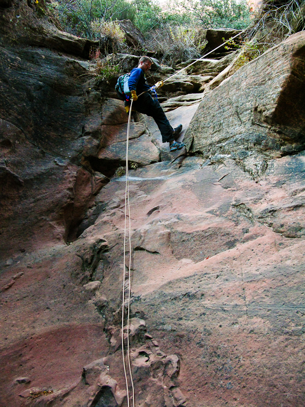 Here we are in our official Star Trek uniforms for the Enterprise section of the canyon. It's kind of tradition to wear the uniforms out of respect for the old crew of the Enterprise. Just kidding! Those are actually the dry suits with the coveralls over them (the coveralls keep you from tearing the dry suits). Don't we look spiffy?!
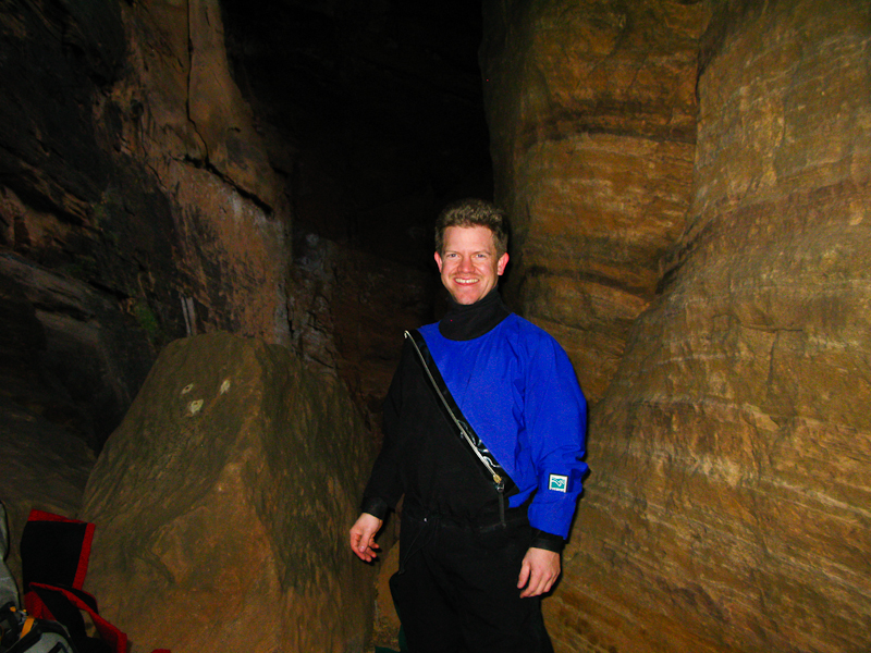 And yes, it was getting dark. Go figure. We donned the dry suits because this rappel deposited you directly in an ice cold pool that was too deep to stand up in. It was so fun! You actually had to use a handline to go out along the cliff a ways before you could rappel down. And then you just rappel down into the pool, unhook from the rope and swim to the edge. It's not actually all that big, but it was still cold - we were definitely glad we had rented the drysuits.
 After that last rappel it was just too dark to get any more pictures. There was one more rappel after this one where we rappelled down Mystery Springs into the Narrows section of Zion Canyon. In the light it would have been a lot more fun and we probably would've had an audience. You can actually see Mystery Springs cascading into the narrows in my previous St. George post here.
This was seriously the funnest hike! Definitely my new favorite - or at least a tie with the Grand Teton. What a blast. i can't wait to do it again. I'm going to start doing this one every year now instead of the Subway. Who's ready to go?
